
Walk Le Morte d'Arthur, Camelot to the western shore
The last campaign of King Arthur, ridden west through a kingdom already falling apart. Your everyday steps follow him from Camelot to the Cornish sea, and Malory's words unlock at the places of the legend.
- 210 miles
- 7 stops
- Sir Thomas Malory, 1485
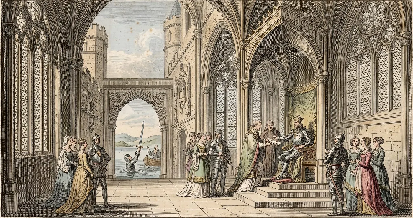
The last road west
A king rides west to hold a kingdom that is already falling to pieces in his hands. Two hundred and ten miles through legendary Somerset and Cornwall to a bare shore, where a sword goes into the water and no one returns crowned.
Thomas Malory wrote in prison and settled a question for good: Camelot, he says, is “in English Winchester.” From there the route follows the legend west. It goes to Glastonbury, long taken for Avalon, on to Exeter and over Bodmin Moor to Dozmary Pool, one of the lakes where Excalibur is said to have gone back into the water, then to Tintagel, where Arthur was conceived.
It ends at Camelford, where tradition places the last battle of Camlann on the River Camel, and finally at Land's End, looking out towards drowned Lyonesse. Malory measures in day-journeys and broken spears, not miles, so the 210 miles here follow the old roads between the places the legend is tied to. William Caxton printed the book in 1485.
- Distance
- 210 miles (338 km)
- Stops
- 7, each with its own passage and plate
- Map
- The real world, on Apple Maps
- Text
- Sir Thomas Malory; Project Gutenberg ebook #1252
Where it starts
So then the king and all the fellowship came to Camelot, that is in English Winchester, where the king held a great court and let make ready the Round Table.
Le Morte d'Arthur · Sir Thomas Malory
This is the passage Bematist gives you the moment you set out. The other 6 wait at the places they happened, and the only way to read them is to walk there.
How long would Arthur's last ride take you?
Arthur rode to his last battle. You can walk it on ordinary days. Choose when you'd like to reach the sea and Bematist sets the pace from how much you already walk.
A rough guide, at about 0.75 m a step. In the app the pace comes from your own 30-day average in Apple Health, and stays fixed for the whole journey.
On the way
The words, at the places
7 passages, each waiting where it happened. You can see how far away the next one is, but not what it says.
Walk it with friends
Send a link and walk the same road together, each of you on your own streets, wherever you live.
No streak to lose
Steps come straight from Apple Health. A quiet day is just a short one, and your place on the road only moves forward.
More roads like this one
See the whole library, with a new book every month, chosen by walkers' vote.
Set out for the western shore.
210 miles of Le Morte d'Arthur, on the walks you already take.
- For iPhone
- No account