
bematist
A person in ancient Greece whose job was to measure distances by walking and counting their steps.
Basically, a human step counter.
Long before maps, GPS or car odometers, if you wanted to know how far it was from one city to the next, you sent someone to walk it, count every step, and write it down.
Did you know?
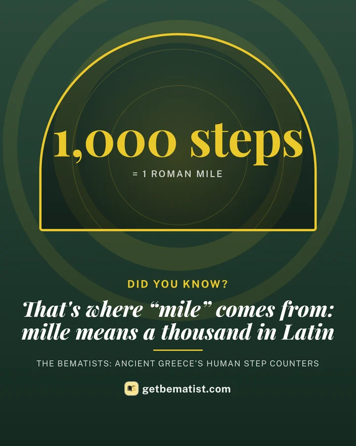
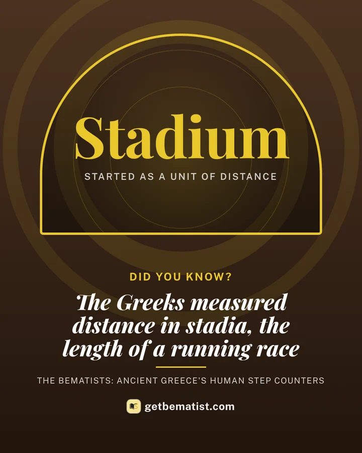
Six things about the bematists, made to share. Tap Share to send the picture, or Copy link to send the page.
How did it work?
No gadgets. Just legs, a good memory and a lot of patience.
-
Same step, every time
Bematists trained until every step was exactly the same length, whether they were going uphill, downhill or across rocks.
-
Count every single one
All day, every day, for weeks. Every step went into the count, and the count went into a notebook at each stop.
-
Turn steps into distance
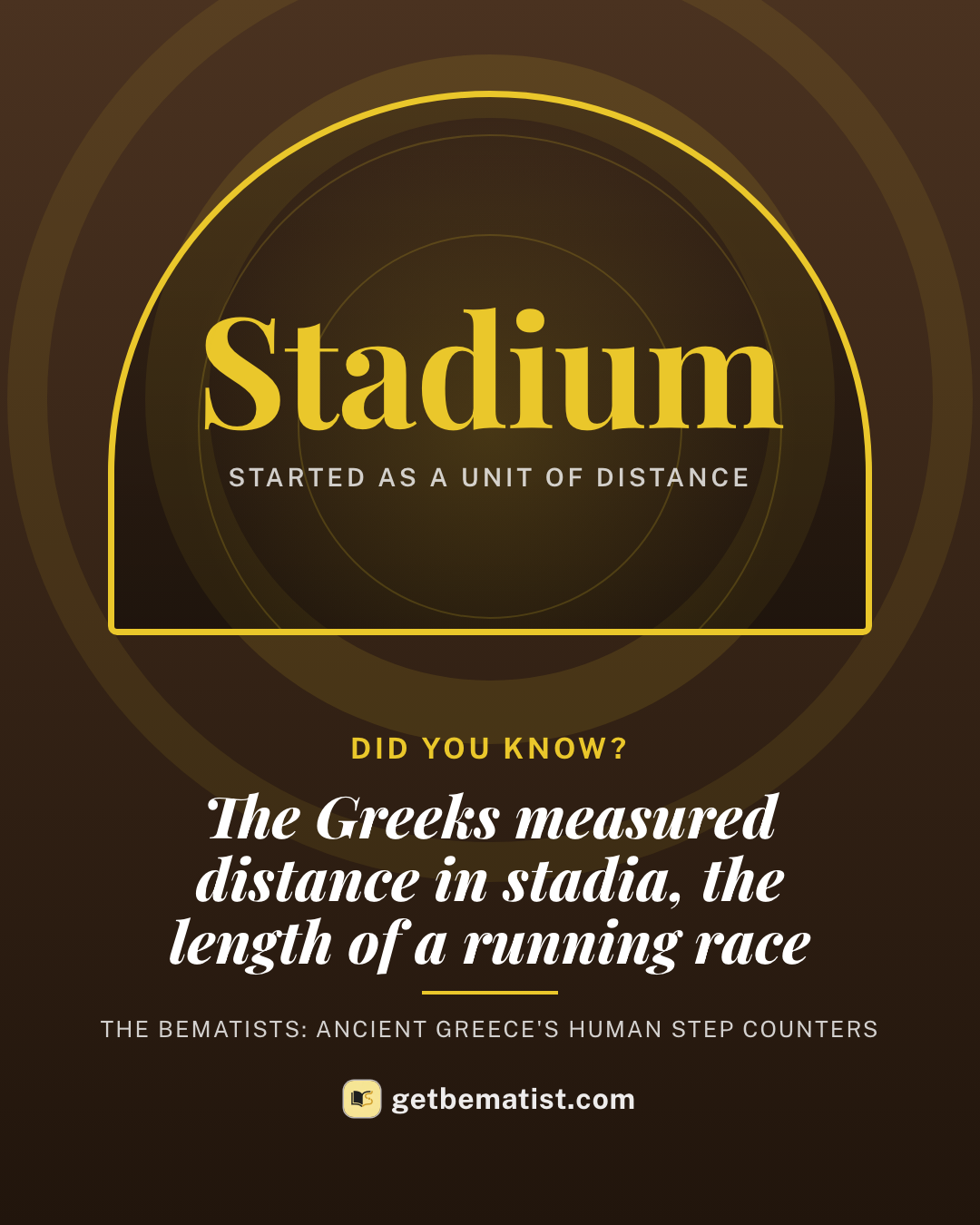
Steps added up to a "stadion", about the length of a running race. Add up the stadia and you knew how far you had come.
They walked to India with Alexander the Great
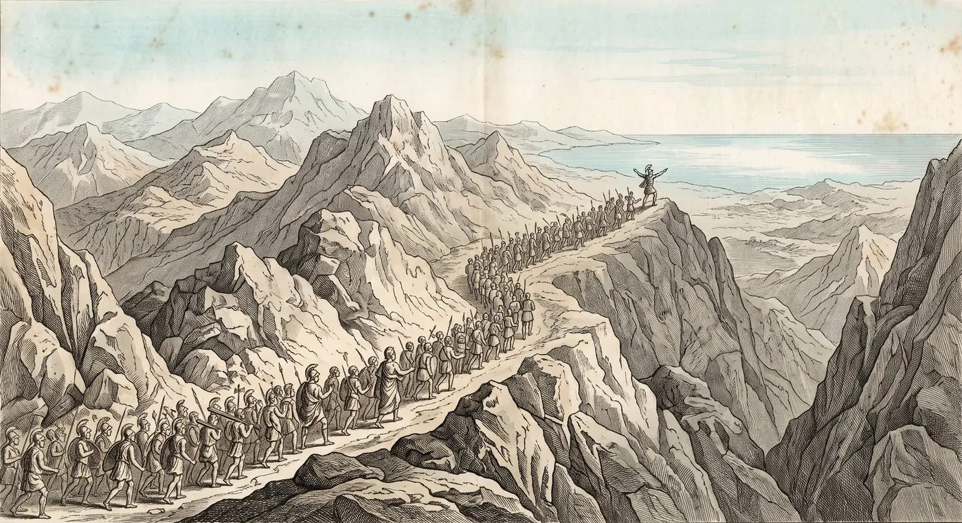
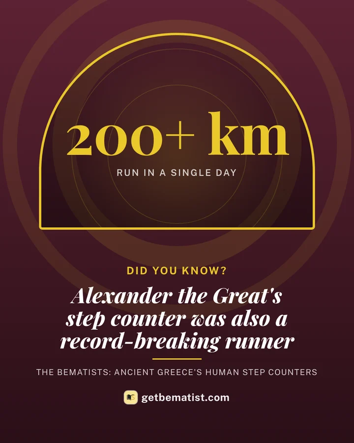
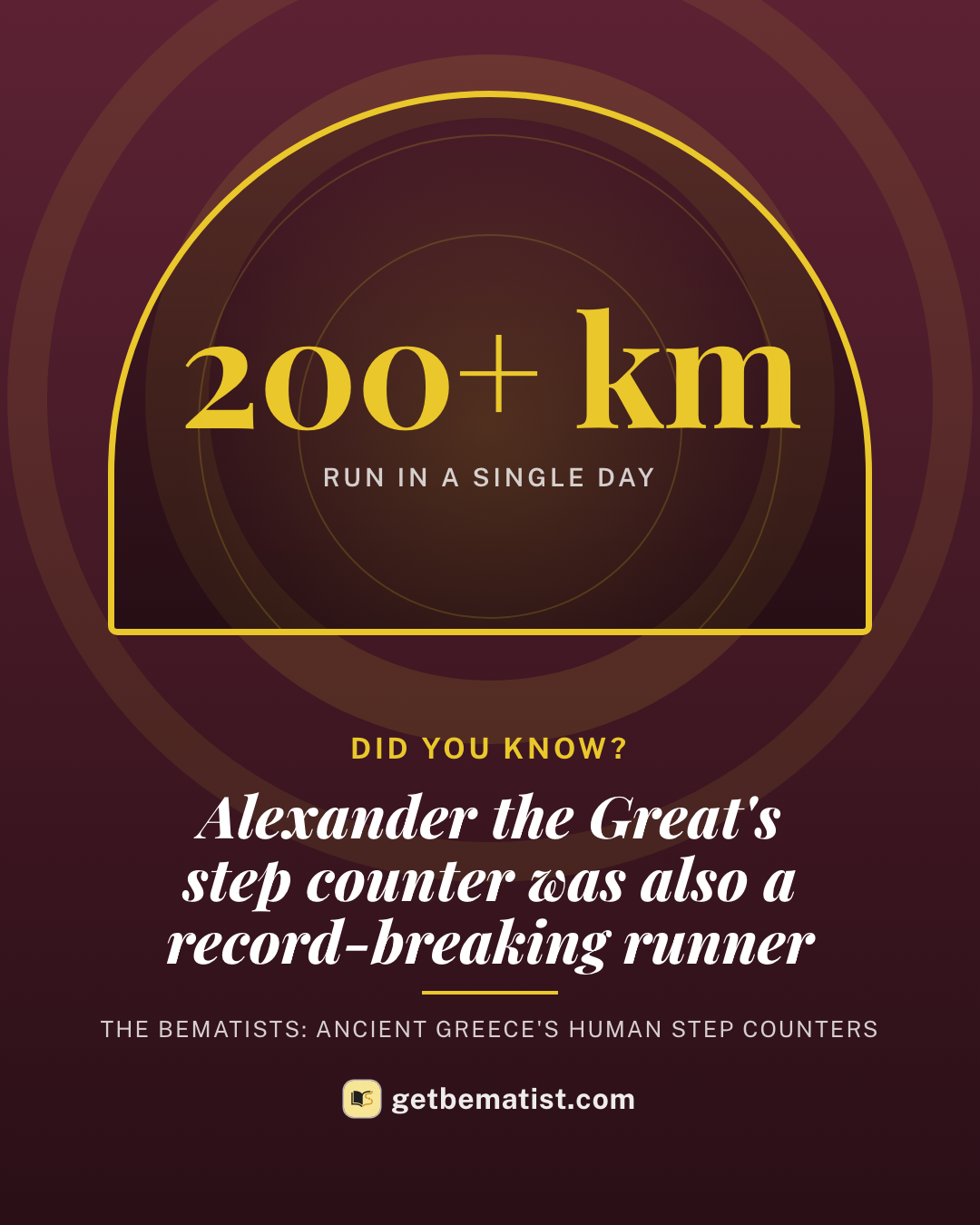
When Alexander the Great marched his army out of Greece, he took bematists with him. As the army crossed deserts and mountains all the way to India, they walked alongside, counting.
Their notes told the army how far it was to the next river, the next pass, the next city. Later, they became some of the first maps of that part of the world.
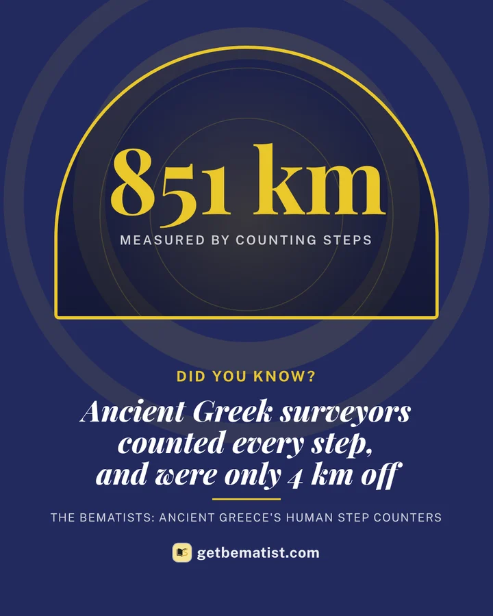
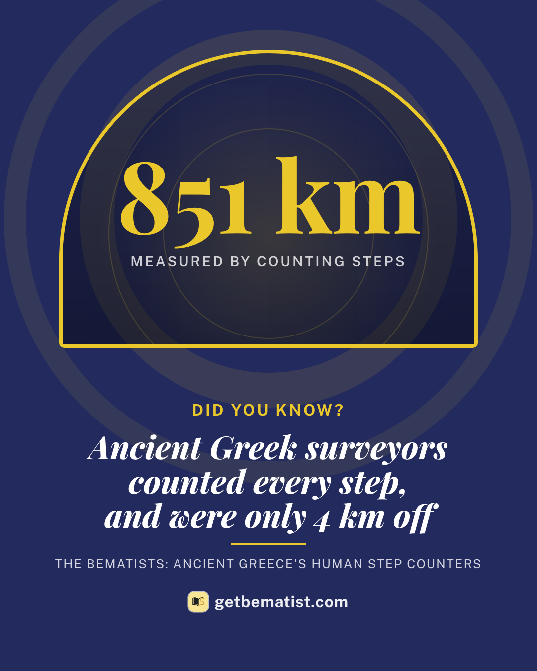
And they were scarily accurate. Here's one road they measured:
- 851 kmWhat the bematists counted, step by step
- 855 kmWhat the same road measures today
- 4 kmHow far off they were. That's about 0.4%.
Then a Greek measured the whole Earth
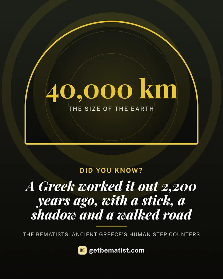
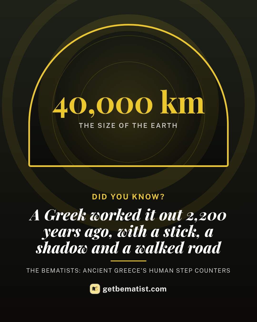
Around 240 BC, a librarian in Egypt called Eratosthenes heard something odd: in the city of Syene, at noon on the longest day of the year, the sun shone straight down a well. No shadows at all.
- At the same moment, back in Alexandria, a stick in the ground did cast a small shadow.
- That shadow showed the sun was tilted by 1/50 of a circle. So the road between the two cities had to be 1/50 of the way around the Earth.
- The road was about 5,000 stadia long. Multiply by 50, and he had the size of the whole planet.
His answer was remarkably close to the real thing. With a stick, a shadow and one long road.
Your phone is a bematist now
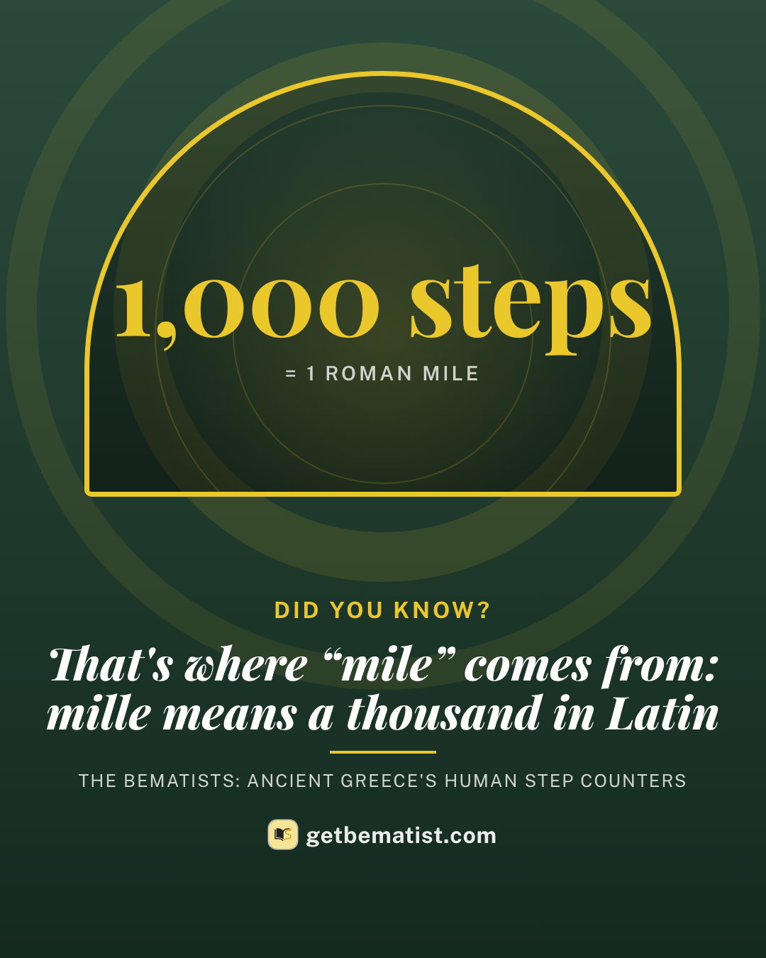
The Romans built a machine to do the counting for them: a cart that dropped a pebble into a bowl every mile. Count the pebbles at night, and you knew how far you'd gone.
Today, the counting happens in your pocket. Your iPhone counts every step you take, all day, without you thinking about it. It's the same job the bematists did, just quieter.
Why our app is called Bematist
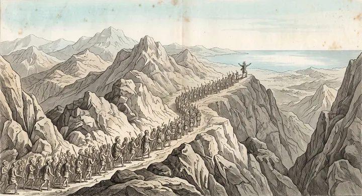
Bematist turns the steps you already take into a journey through a classic book. Walk Dracula's road to Transylvania, the Odyssey's long way home, or the march of ten thousand Greek soldiers to the sea.
Your phone counts the steps, just like a bematist would. When you reach a place from the story, you get to read what happened there.
- For iPhone
- Steps from Apple Health
- No account
Know someone who'd like this?
Send it to the friend who's always checking their step count.